
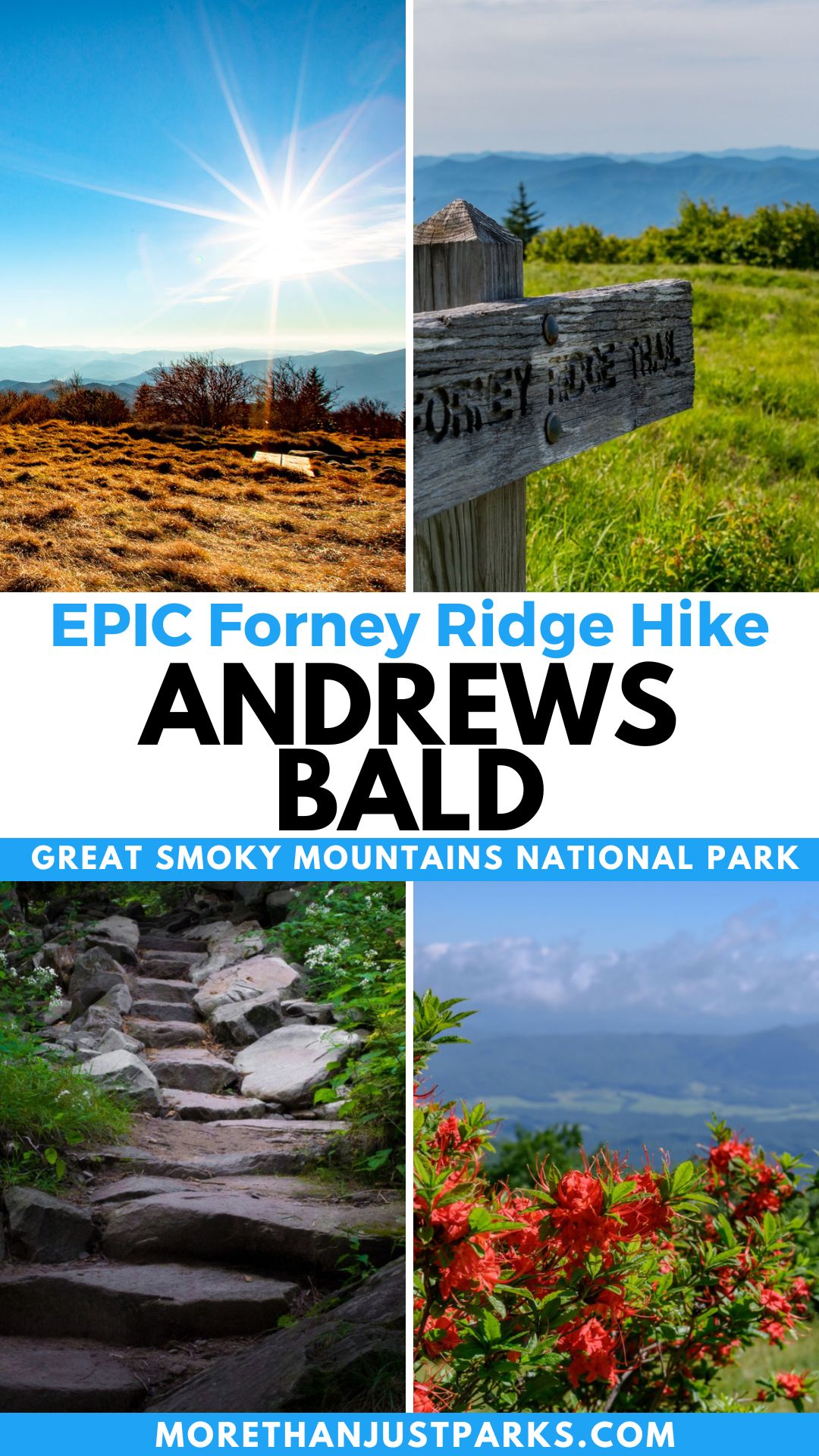
ARTICLE OVERVIEW: Andrews Bald in Great Smoky Mountains National Park
Andrews Bald Trail in Great Smoky Mountains National Park escapes the crowds of Clingmans Dome and works up a good sweat to some of the best views in the park.
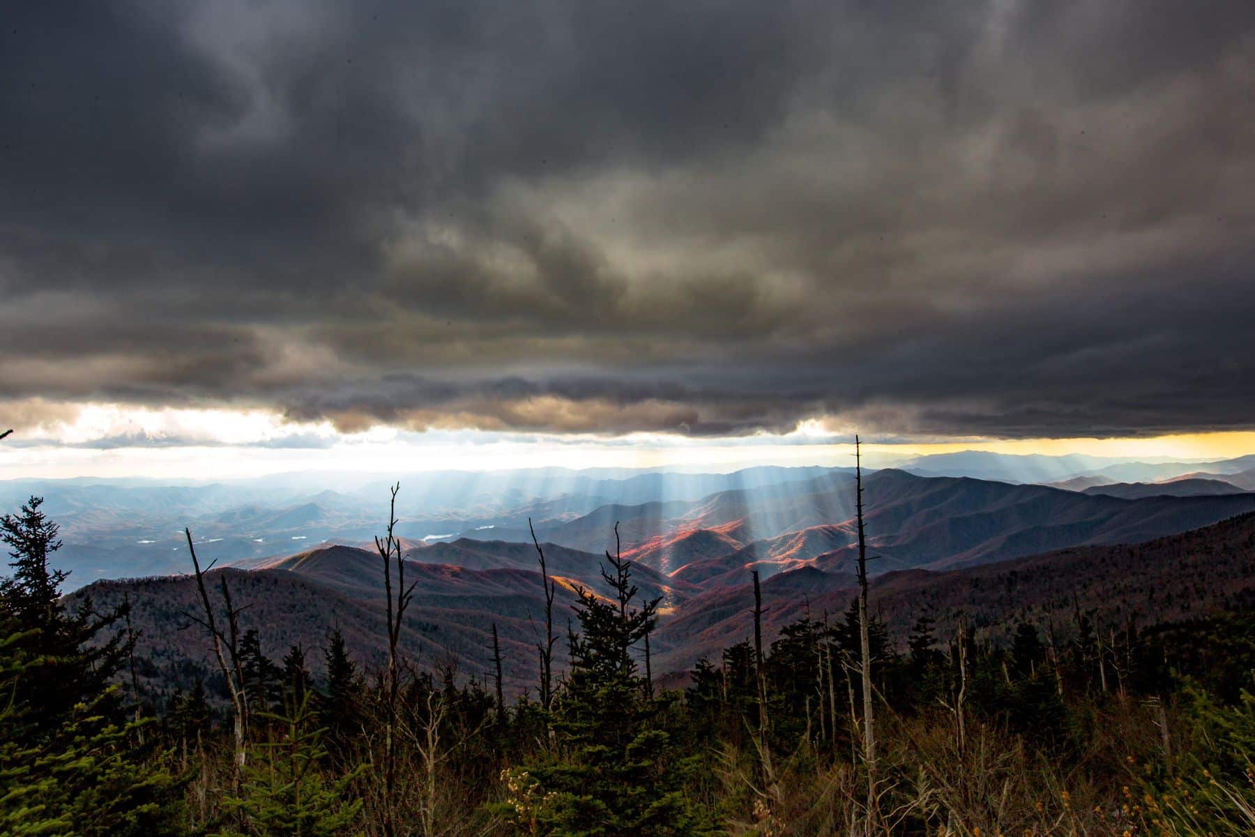
As any peak bagger can tell you, going for the highest peaks in the Smokies leaves you standing among trees half the time. Yet sitting in the shadow of three of the park’s 10 highest peaks, Andrews Bald commands respect with a 5,900-foot overview across the North Carolina side of the Great Smoky Mountains.
The effort to get there is rewarded with a grassy meadow perched among the clouds, but it’s known geographically as a “Bald” due to the lack of trees. I hiked this trail in three seasons, twice on its own and once as part of a much longer backpacking hike (and an even longer story).
I’m going to help you make the most of this trail adventure throughout each season and spill some secrets along the way.
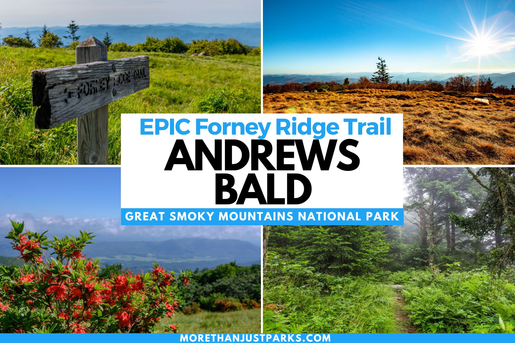
TABLE OF CONTENTS:
Table of contents:
- 5 Quick Things to Know about Great Smoky Mountains National Park
- Andrews Bald Hike Elevation Profile & Difficulty
- Map of Andrews Bald Hike
- Andrews Bald Trail Guide Along Forney Ridge
- What to Do at Andrews Bald By the Seasons
- History of Forney Ridge & Andrews Bald
- Longer Routes on Forney Ridge Past Andrews Bald
- VIDEO: Andrews Bald Trail Map Overview
- Helpful Related Links
5 Quick Things to Know about Great Smoky Mountains National Park
- Entrance to Great Smoky Mountains National Park is free, but you will need a parking pass for any stop longer than 15 minutes. Get there early. The parking tag does not guarantee a spot.
- Mobile service is spotty throughout the park, so bring a waterproof map with you.
- Getting to Andrews Bald is equidistance from either Gatlinburg (TN) or Cherokee (NC). The Gatlinburg entrance at Sugarlands Visitor Center will likely have more traffic.
- Use bug spray on the Andrews Bald hike. You need as much protection from mosquitoes and ticks as you can get from March through October and/or anytime the temperature is above 50°F.
- Check the weather before you go. That goes for the current weather and the past several days. This will help you plan the right footwear and prepare for mud, ice, snow, or downed trees.

Andrews Bald Hike Elevation Profile & Difficulty
🥾Length of Andrews Bald Hike: 3.6 Miles Out & Back
⌚Andrews Bald Hike Time: 2 Hours
🏞️Trail Names for Andrews Bald Hike: Forney Ridge Trail (NOT Forney Creek Trail)
⬆️⬇️Elevation Change on Forney Ridge Trail: 1,200 Feet. The highest point is 6,309 feet. The lowest point on Forney Ridge is 5,720 feet. Andrews Bald peaks at 5,860 feet, with the views best seen from the edge near 5,740 feet.
😳Andrews Bald Hike Difficulty: Moderate side of easy/Moderate
💪🏼Hardest Part of Andrews Bald Hike: The 584 elevation drop in the first mile, which then has to be recovered in the last mile.
NOTE: Per the proper naming convention of the U.S. Board of Geographic Names (BGN), apostrophes are not used aside from a few exceptions. This stands to help avoid personal possessions of natural elements enjoyed by the public. The proper spelling is Andrews Bald, not Andrew’s Bald.

Map of Andrews Bald Hike
Andrews Bald Trail Guide Along Forney Ridge
Not only do you get to explore the highest point in the Smoky Mountains at Clingmans Dome, but also you get to see the highest bald in the Smoky Mountains at Andrews Bald.
While you still face the crowds at Clingmans Dome Parking Area, you get to escape (some of) them by taking the Forney Ridge Trail. As one of the most popular trails in the park, comparatively, Clingmans Dome will be much more crowded.
When looking south from the parking lot, you’ll see Forney Ridge to your right.
What to Bring Andrews Bald Trail Hike
I’ve lived above 6,000′ in the Sierras for many years of my adult life, so the elevation here wasn’t going to impact me, and even the steepness of the slope made an easy trek.
However, many people who visit the Smokies are from lower altitude locations, and the grades easily take the wind out of you. Plus, you have to go back up a huge slope at the end of your hike – don’t forget that.
Even if this hike seems on the easy side for you, don’t forget to bring the following as is seasonally appropriate:
- Trekking Pole: You’ll face rocky trails, potentially downed trees, and puddles after rain or during snowmelt.
- Bear Spray: Prepare for bear encounters and carry bear spray in an easy-to-grab location.
- Crampons/Microspikes: If temperatures are below freezing or have been in the past few weeks, you’ll want the optional spikes to help keep a grip on icy spots. Shade covers much of the trail.
- Headlamp: Those going to Andrews Bald for the sunrise need a light to navigate this trippy trail filled with rocks and uneven surfaces. In some spots, you’re two steps from going down the side of the ridgeline.
First Mile of Andrews Bald Hike
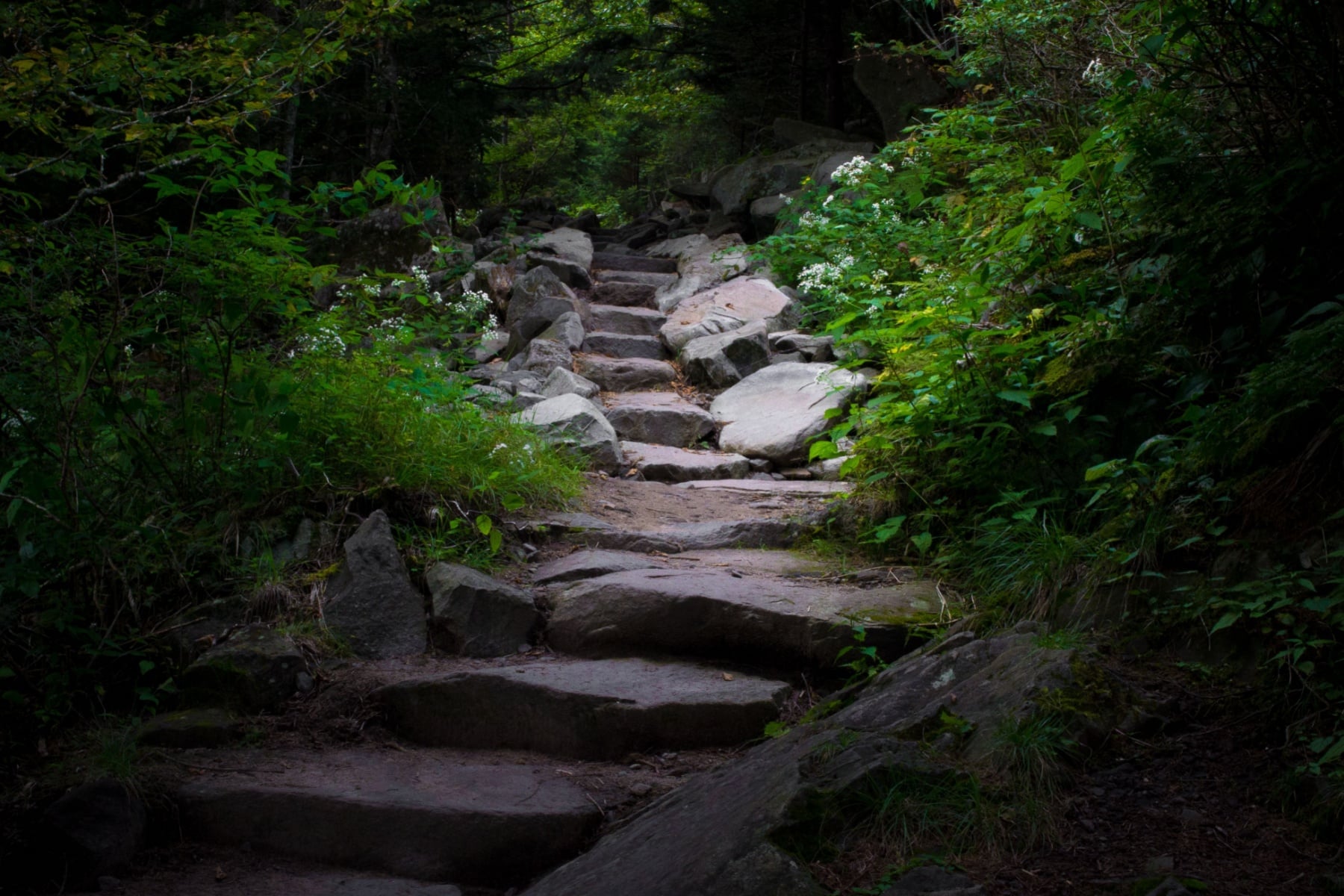
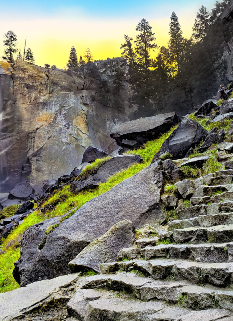
The trail starts on the same path as the Clingmans Dome Trail, heading up the wide, steep, paved walkway to the observation tower. Instead, the Andrews Bald trailhead (Forney Ridge trailhead) quickly takes a westward curve down a wide set of stone stairs. It reminded me of the sudden drop to Bright Angel Trail in the Grand Canyon from the South Rim.
About 800 feet into this hike, the trail will come to a fork. Going north takes you to the Clingmans Dome Bypass Trail to the Appalachian Trail. Going south is the Forney Ridge Trail to Andrews Bald.
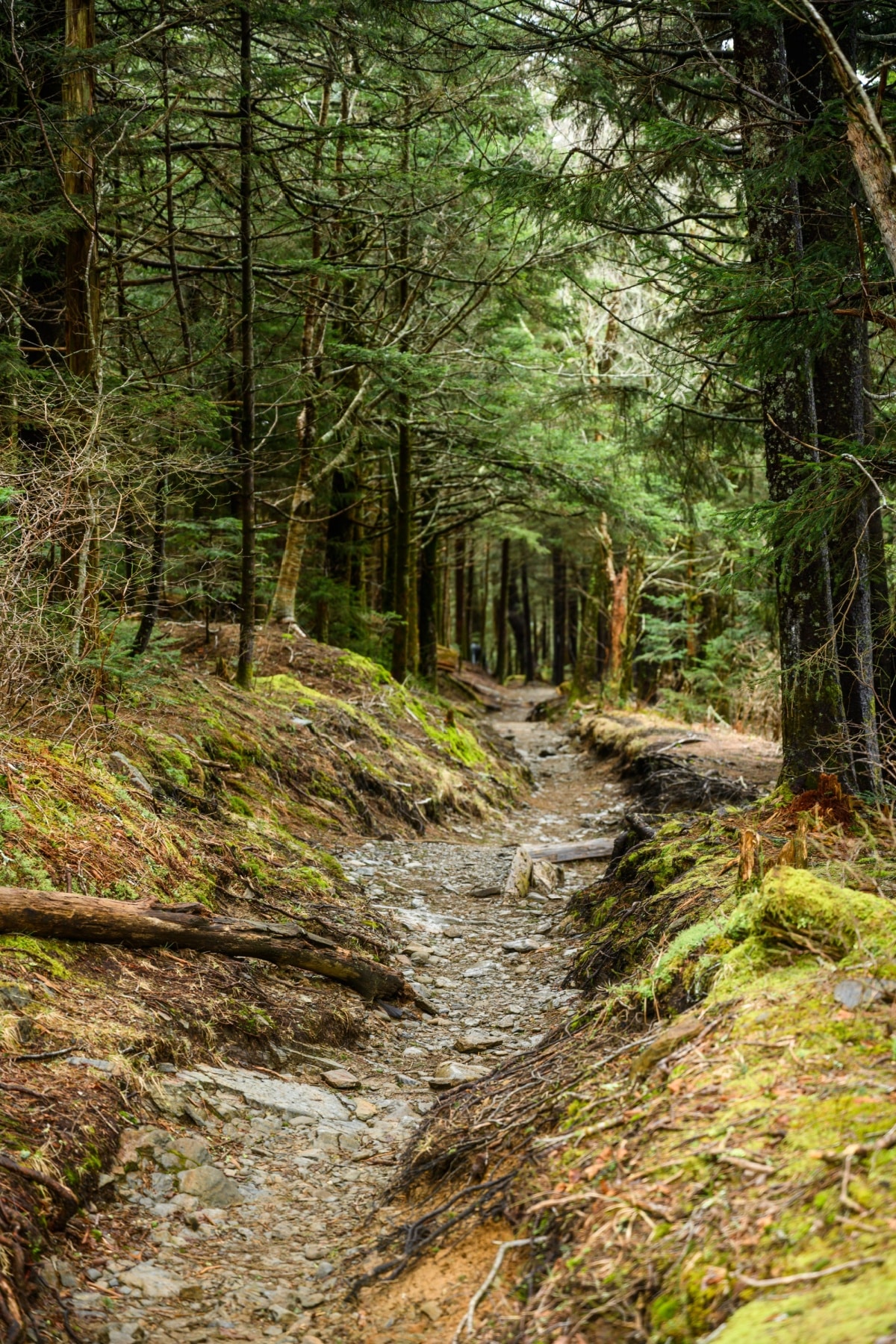
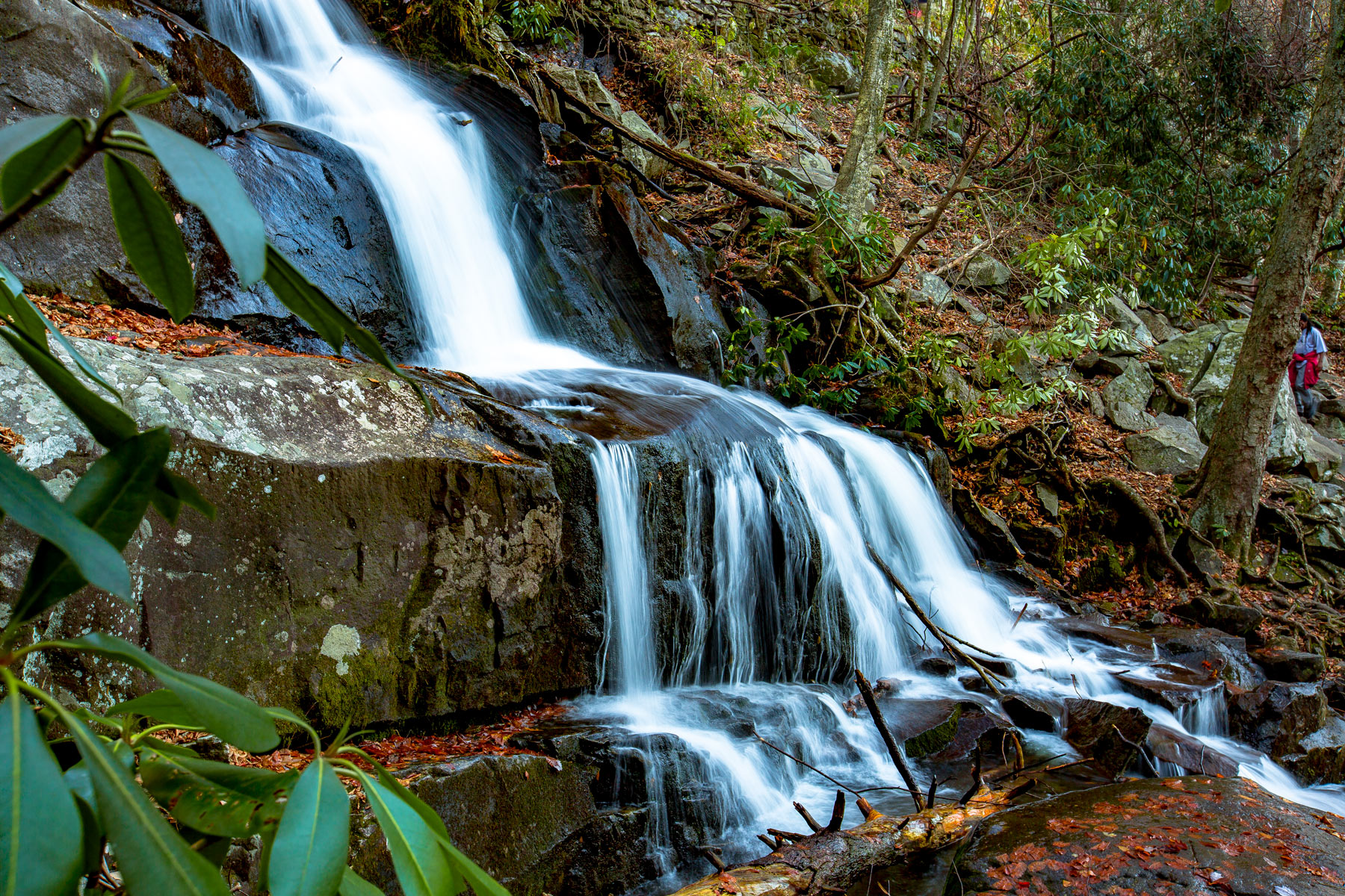
During the first mile, the trail drops 600 feet through rocky and steep terrain, with some sloping sections looking down toward Forney Creek.
ROCKY TERRAIN: My first trip on this trail came long before the 2015 project that made the trail easier to navigate. If you think it’s bad now, you should’ve seen it before!
Last Mile of Andrews Bald Trail on Forney Ridge
The steepest part of the trail is behind you at this point. But still, more elevation lies ahead. With just another half a mile incline of 175 feet before reaching the high point of this ridge section. From there, it’s just another 2,000 feet until you’re at the top of the bald with sweeping views. Look for the “Scenic View: 500 Feet” sign.
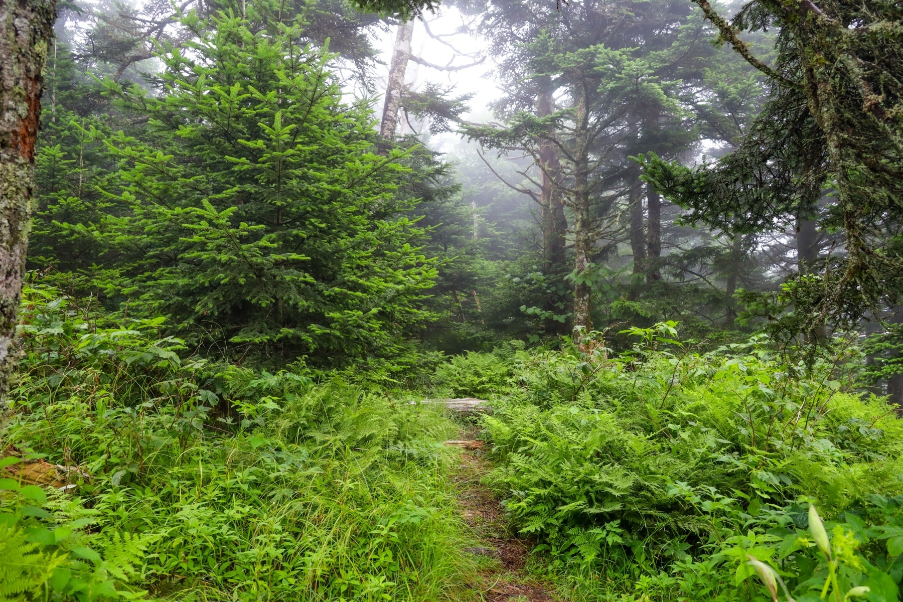
Even though the mountain is “bald,” it’s not barren. Wildflowers, grass, trees, and shrubs fill the space that is getting smaller every year, even with NPS maintenance.
From this point, you go back the way you came. Save some energy for that final mile of 600-foot ascent back to the parking area.
What to Do at Andrews Bald By the Seasons
Each season unveils unique sights at Andrews Bald. The walk to witness sunrise and sunset views rewards you, provided you are fit and experienced enough to navigate a rocky trail in the dark.
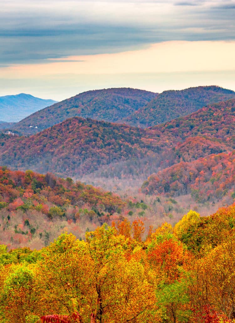
During fall, this stands as one of the best spots for viewing foliage. Any elevation above 4,000 feet peaks in early to mid-October. Lower elevations follow through the end of October. Sometimes, that goes as late as early November.
Winter brings the closure of Clingmans Dome Road from December 1 through March 31. That makes getting to Andrews Bald challenging. Plus, it sits between Newfound Gap and Clingmans Dome, getting anywhere from 70 inches to 100 inches of snow a year. When you factor in the seven-mile walk on Clingmans Dome Road and the Forney Ridge Trail to Andrews Bald, that’s almost 18 miles.
Spring wildflowers shed a new kaleidoscope on the park. Andrews Bald trail hike has the best flowers in late Spring. Plan for some freezing or muddy spots in early to mid-spring on this trail.
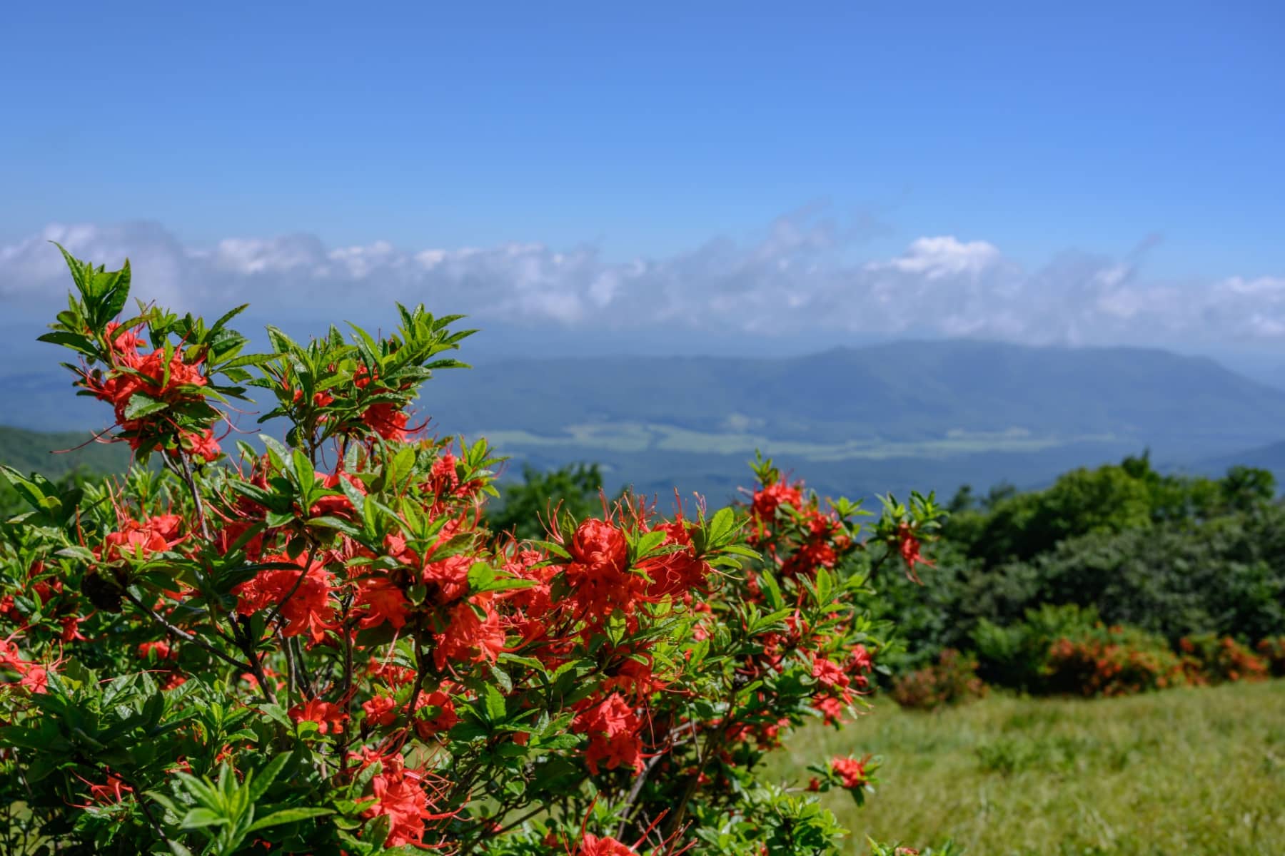
The best reason to hike to Andrews Bald in summer is the flaming azaleas. These peak in the summer – either late June or early July – along with a host of colorful complementary flowers among the green grass. The higher elevation here provides some escape from the stifling summer heat of the lower valleys.
Andrews Bald Weather
In fall, temperature highs range from 55°F to 70°F, providing the perfect conditions for leisurely hikes and scenic vistas. Lows will be around 35°F to 50°F.
January and February bring the most snow to Clingmans Dome and Andrews Bald, while temperature highs range from a cool 35°F to 45°F, while lows plummet to a chilly 20°F to 30°F.
Throughout spring, temperature highs range from a crisp 50°F to a mild 65°F, with lows dipping to a brisk 30°F to 45°F. Snow can still fall well into late March.
Temperature highs reach a balmy 70°F to 80°F in summer, offering visitors a comfortable environment for exploration. Evenings bring a gentle coolness, with lows ranging from 50°F to 60°F. Afternoon rain showers or thunderstorms are common, with July bringing the most rain.

Severe Weather in Great Smoky Mountains National Park
As a side gig, I chase storms throughout the Midwest and South. I feel it’s important to clear up any specutlation you hear that “The Smoky Mountains protect the area from tornadoes.” This is not geographically, atmospherically, or historically true. Furthermore, severe thunderstorms without tornadoes still pack a dangerous punch.
First of all, an EF4 tornado tore through the park in April of 2011, part of a much larger series of deadly tornadoes across the south. A little more than a year later, a derecho hit, with the Clingmans Dome facing 50 to 63-mile-per-hour wind gusts for three hours.
Even beyond tornadoes, severe thunderstorms, windstorms, and remnants of tropical storms moving inland can impact the park. Going back to the herding days on the mountain, historical reports state, “Lightning would occasionally claim several sheep at one time. Cattle would get off the top during a storm, but sheep would huddle together in the open and get struck.” A bald or ridge is the last place you want to be when a storm is moving through.
Severe Weather Resources
Here are a few resources to stay informed about weather emergency alerts before you take the trail to Andrews Bald. This will also alert you to incoming winter weather or windstorms. The park conditions alerts will let you know about trails with storm damage or closures.
History of Forney Ridge & Andrews Bald
I find the hikes of the Great Smoky Mountains fascinating when I know the history. This isn’t the stuff you’ll find in the tourism guides or park maps – this is the “buried in archived” information I love to dig up. In a way, I feel like I walk in lockstep with history, and I like to share it with you.
First of all, this hike doesn’t take the Andrews Bald Trail; it’s the Forney Ridge Trail that takes you to Andrews Bald. Where do those names come from? Nothing you’ve read on the internet is likely correct. Here’s what I found out.
Forney Ridge Name Origin
As the story goes and repeates ad nauseam in the same wording across the internet, Forney Creek and Forney Ridge were named after a 1750 pioneer named Jacob Forney. However, there’s ANOTHER Forney Creek outside Charlotte in Lincoln County, North Carolina. Historical records clearly detail a Jacob Forney Jr and Sr who lived in that area.
Hours of research provided me with no evidence any of those Forneys set foot in Swain County. At the same time, I was able to find census records as far back as 1880, when Forney Creek Township existed in Swain County. Since the county was founded in 1871, no previous census records exist for Forney Creek Township. The town’s population peaked in 1920 at 3,491.
Forney Ridge Name
Arnold Guyot wrote about Forney Ridge in his 1860s notes, but we now know that as Welch Ridge to the west.
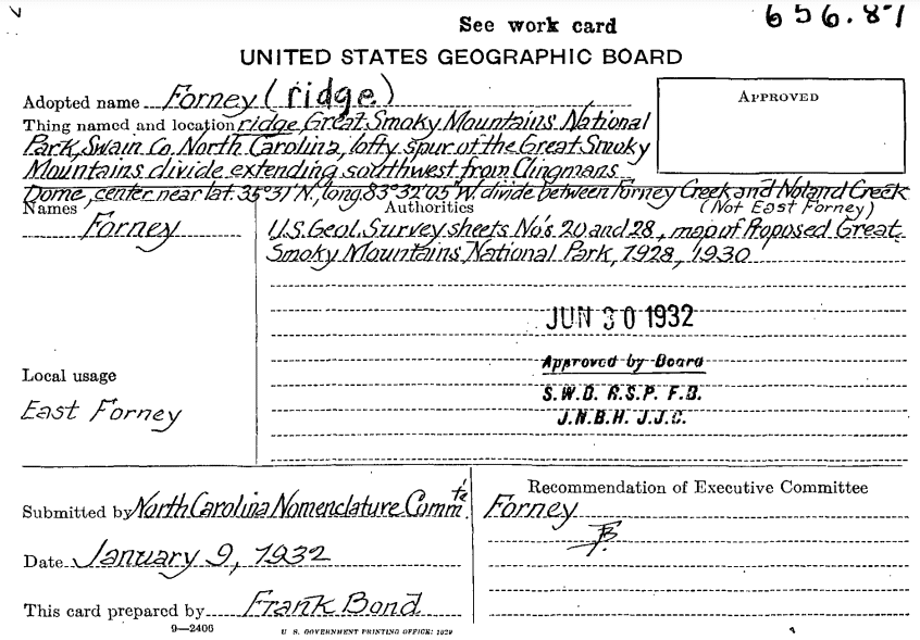
In 1932, the United States Board of Geographic Names (BGN) officially named it Forney Ridge, previously called East Forney Ridge.
Perhaps the one Guyot wrote about was West Forney Ridge.
By 1944, the filling of Fontana Lake by the dam left part of the township underwater. The answer of the REAL Forney Creek & Ridge namesake probably went under with it. Then, in 1950, the remainder of Forney Ridge Township was turned over to Great Smoky Mountains National Park by the Carolina Aluminum Company.
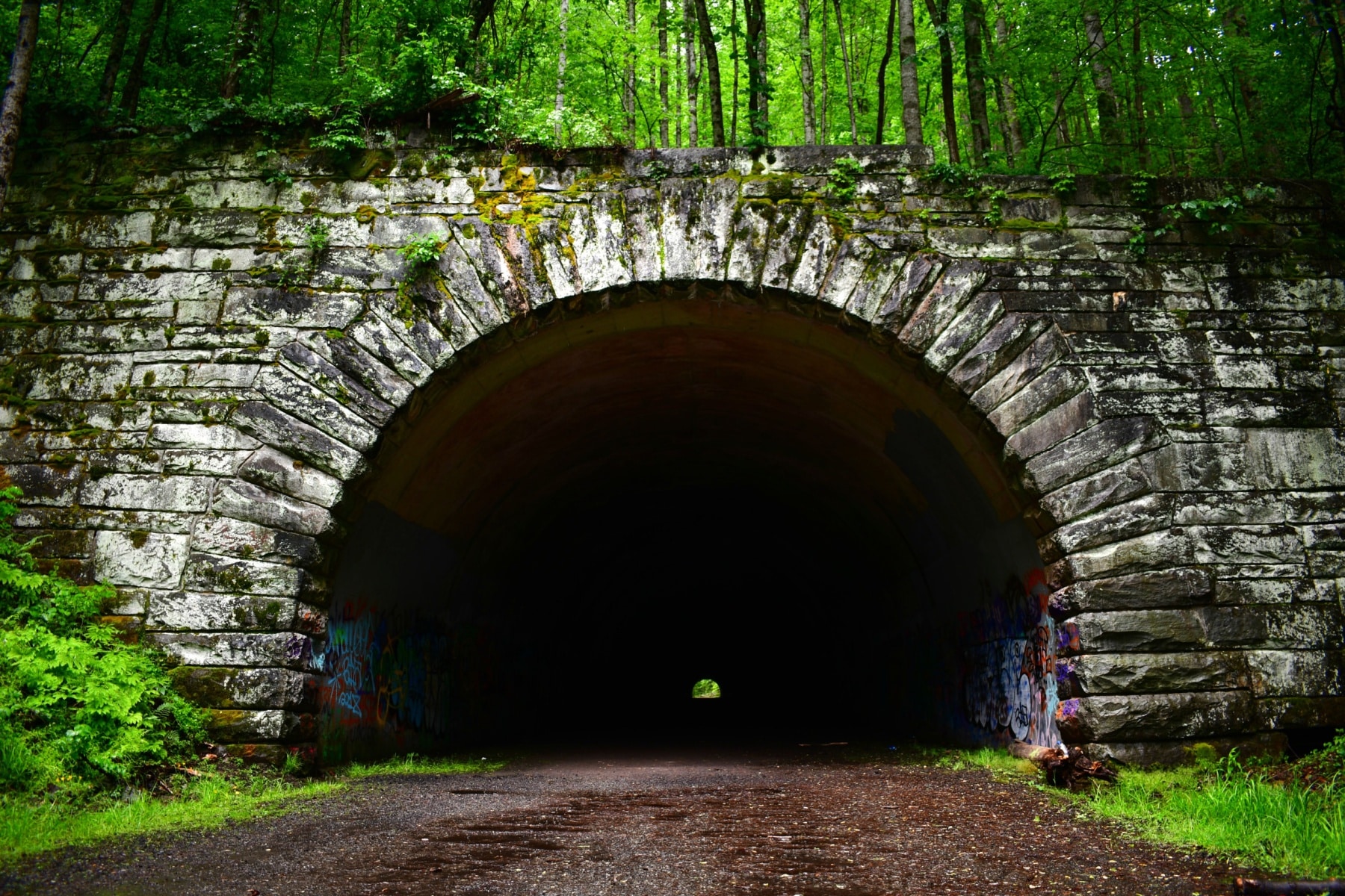
One rarely pieced-together fact is that Forney Ridge extends to the Road to Nowhere tunnel. That’s the long 17-mile one-way hike I took.
Andrews Bald Name Origin
Andrews Bald’s name seems to be shrouded in some mystery. The word “probably” attaches to most reports of a cattle herder in the 1840s named Andres Thompson. Most believe somewhere along the naming nomenclature, a well-meaning person assumed Andres was a typo for Andrews and “fixed” it.
A National Park Service 1976 interview of local resident Lawrence Crisp‘ claims the only cattle that made it to Andrews Bald was by accident. He stated, “They wouldn’t drive ’em to Andrews Bald ’cause Andrews Bald was too far back over this way.”
Then, he gave another possible option for the name Andrews. “Heard Daddy and them old folks talk about Andrews Bald. Said Old Man Andrews, I don’t know where he was from, was the one that cleaned up Andrews Bald and Old Man Silers cleaned up Silers Bald.”
Andrews Bald Name is Set
In 1932, BGN locked in the name Andrews Bald name. A proposal was submitted in 1996 to change the name to Andres Bald. The change was denied in 1999, backed by the National Park Service and the North Carolina naming entity. Why? No written proof exists to confirm the aforementioned story. Plus, it was widely known as Andrews Bald, which could have led to confusion.
The bottom line on both locations is that nobody is 100% sure where the names came from.

The B-29 Flying Superfortress Crash at Clingmans Dome
One thing to consider when you’re at Clingsmans Dome Parking Area is that in June of 1946, a B-29 Flying Superfortress crashed in the middle of the night. Showing no signs of distress, experts only assume the crew didn’t gain enough altitude to cross Collins Gap, east of Clingmans Dome.
The angle of the plane suggests it was trying to ascend but missed by at least 200 feet. One of the plane’s engines came to rest on Clingmans Dome Road. The fuselage bounced off the road and hit a two-ton boulder that sent it airborne to crash. The now wingless fuselage slashed through to the other side of Clingmans Dome along the Forney Ridge area. Twelve military members were killed.
The mountains and forest reclaimed the scarred land over the decades, and hikers picked the site clean of debris long since. I still do a moment of silence in this parking lot for the men who gave their lives on that fateful day.
Longer Routes on Forney Ridge Past Andrews Bald
Your adventure continues (if you’re up for it) past Andrews Bald. To finish Forney Ridge Trail, you’ll go another 5.4 miles to the connector with Springhouse Branch Trail near Board Camp Gap. That’s 14 miles doing an out-and-back route. Springhouse Branch connects Forney Creek and Noland Creek Trails.
Another option requires a multiple-day backcountry trip down Noland Creek Trail. You’ll backtrack 0.8 miles from Andrews Bald and quickly descend down the ridge. That leads to the Lakeshore Trail, ending at the Road to Nowhere tunnel 16 miles later.
Along that route, consider Backcountry Campsites #68 (near Rock Slab Falls), #69 (between Forney Creek & Huggins Creek), #70 (Jones Creek & Forney Creek), #71 (former CCC camp with stone fireplace still standing), and #74 (closest to Fontana Lake). Permits are required for any of those spots. Call (865)436-1297 with questions.
Pin Andrews Bald Trail

VIDEO: Andrews Bald Trail Map Overview
Helpful Related Links
Great Smoky Mountains NP Guide: Expert Guide to Great Smoky Mountains National Park
Best Hikes Great Smoky Mountains: 15 Best Hikes in Great Smoky Mountains National Park
Clingmans Dome: Tips, Tricks, & the Secret Tunnel of Clingmans Dome
Newfound Gap: Visiting Newfound Gap Outlook
Visiting Cades Cove: Cades Cove Visiting Guide (Helpful Tips + Map)
Tennessee National Parks: 15 AMAZING Tennessee National Parks Worth Visiting (Guide + Photos)
Best East Coast National Parks: Top 10 Best East Coast National Parks Ranked
National Monuments Ranked: ALL 128 US National Monuments Ranked (Best to Worst)
National Parks Ranked: ALL 63 US NATIONAL PARKS RANKED By Experts
Free Downloadable National Parks Map: LIST & MAP of National Parks By State (+ Printable Checklist)
Most Visited National Parks: Top 10 Most Visited US National Parks
Georgia National Parks: 10 Amazing Georgia National Parks Worth Visiting
South Carolina National Parks: 8 Epic South Carolina National Parks Worth Visiting
North Carolina National Parks: 12 Epic North Carolina National Parks Worth Visiting
National Parks Road Trip: 10 EPIC National Parks Road Trips (Expert Guide)
Virginia National Parks: 30 EPIC Virginia National Parks Worth Visiting (Helpful Guide + Photos)
Pennsylvania National Parks: 22 EPIC Pennsylvania National Parks Worth Visiting (Guide + Photos)
Maryland National Parks: 27 EPIC Maryland National Parks Worth Visiting (Helpful Guide + Photos)
Maine National Parks: An Epic Guide to Maine’s National Parks
Leave a Reply